

Our Services
WHAT WE DO
Delivering a Wide Range of
Professional Solutions
Tailored to Your Projects
Explore our comprehensive services—ranging from field investigations and data acquisition to project consultancy and advanced algorithmic solutions.
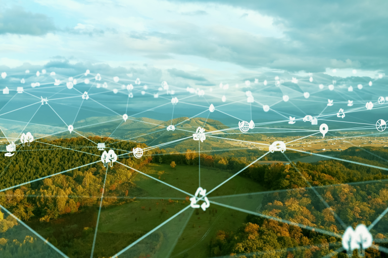


OUR CAPABILITIES
Precision Solutions
That Make a Difference in Field Surveys
As Detectsol, we offer a wide range of services within the scope of field surveys. We are experienced in many areas, from the discovery of underground resources to major engineering projects, from environmental research to archaeological studies.
Advanced R&D Capabilities
In-House Technology Development
Detectsol develops proprietary algorithms and methods within the scope of TÜBİTAK, KOSGEB, and international support programs. We develop technologies that provide reliable data for subsurface investigations, contributing to both the industry and science.
Corporate R&D Collaborations
In projects conducted with universities, public institutions, and the private sector, we undertake critical responsibilities with our expertise in geophysical engineering. We position ourselves as a reliable partner by offering intense data generation, advanced modeling methods, and technical analysis support.
Corporate R&D Project Management
We manage R&D projects in the field of geophysical engineering with an end-to-end professional approach, providing a comprehensive service that spans from initial project planning to field execution and reporting processes. We undertake all the technical and scientific processes required for our clients to achieve their R&D objectives, delivering the results fully and transparently. In R&D initiatives, Detectsol stands as a solution-oriented, reliable, and sustainable business partner.
Exploration Geophysics
Mineral and Coal Exploration
Using Direct Current Resistivity (DC Resistivity), Induced Polarization (IP), and Electromagnetic methods (MT, CSAMT/CSEM), we investigate mineral and coal deposits with high precision. Through advanced inversion of acquired geophysical data, we generate detailed 3D subsurface models that reveal both shallow and deep ore zones. These models enable accurate delineation of mineralized structures, helping optimize exploration strategies and improve drilling success rates.
Geothermal Exploration
Using advanced electromagnetic methods (MT, CSAMT/CSEM) and state-of-the-art acquisition systems, we investigate geothermal resources at depth. Through inversion of measured geophysical data, we generate detailed 3D subsurface models that reveal the geometry and characteristics of geothermal reservoirs down to 10 kilometers. These models enable the accurate identification of optimal production and reinjection well locations, reducing exploration risk and improving project success.
Oil and Gas Exploration
Using advanced electromagnetic geophysical methods (MT, CSAMT/CSEM, and TEM), we generate detailed 3D resistivity and conductivity models of subsurface structures at depths exceeding 5 kilometers. These models enable the accurate delineation of oil, water, gas, and CO₂-bearing formations, helping identify prospective targets with confidence. By efficiently screening large areas, we narrow down zones for detailed 3D seismic surveys, significantly reducing exploration costs and project risk.
Reservoir Geophysics
We use advanced geophysical methods and modeling techniques to identify and evaluate potential CO₂ storage sites. Through comprehensive investigations employing Magnetotelluric (MT) and Controlled Source Electromagnetic (CSEM) methods, we assess reservoir integrity, storage capacity, and long-term containment potential. Our studies provide critical insights into caprock sealing properties, reservoir depth, and potential leakage pathways, supporting the safe and effective implementation of carbon capture and storage (CCS) projects.
Hydrogeophysics
We conduct advanced 3D geophysical investigations of groundwater resources in both alluvial and bedrock environments. Our services also support the selection of optimal dam sites, including underground dam projects, through detailed subsurface characterization. In addition, we identify cavities, fracture zones, and karstic features within dam reservoirs and pond areas, helping ensure the safety, stability, and long-term performance of water infrastructure projects.
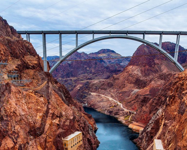
Engineering Geophysics
Infrastructure Studies for Municipalities
We detect the locations of buried water and electric pipelines, as well as leakage or corroded areas using geophysical methods.
Infrastructure Rehabilitation
We investigate problems such as subsidence, fault zones, and groundwater in railways, highways, bridges, and viaducts using modern geophysical methods and 3D inversion algorithms.
Archaeo-Geophysics
We can detect buried archaeological structures without excavation. By determining their location, depth, and extension with 3D geophysical methods, we enable rapid and economical assessment of large archaeological sites.
Sinkhole, Void, and Fault Investigations
We detect sinkholes, karstic voids, and faults of all sizes using 3D inversion algorithms, providing detailed depth and geometry analysis.
Landslide Risk Analysis
In settlement areas, railway/road routes, and mining sites, we identify potential discontinuities and the geometry/depth of slip planes.
Structural Geophysics (NDT)
We investigate reinforced concrete structures such as bridges, viaducts, airport runways, and buildings using non-destructive methods. We also rapidly assess post-earthquake structural damage.
Geotechnical Site Characterization
We perform site selection and zoning studies, evaluating the suitability of the land with geophysical methods.
Project Development
Engineering Problem Solving
Developing innovative projects for specific engineering problems.
Consultancy in Major Projects
Technical specification preparation, contractor selection, and supervision in large-scale projects.
Geophysical Data Re-evaluation
Re-analyzing historical geophysical data with modern processing techniques to obtain more accurate results.
Academic Project Partnerships
We provide partnership support to academics for TÜBİTAK, KOSGEB, and EU-funded projects, conducting the specialized geophysical surveys and research required within the scope of these initiatives.