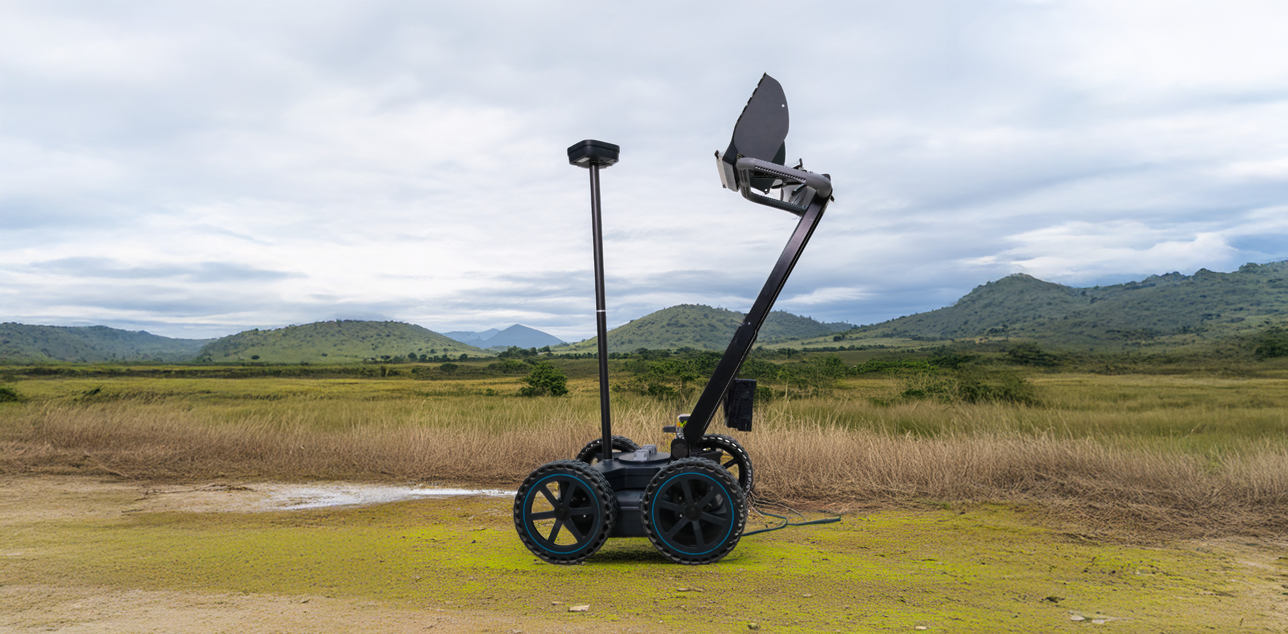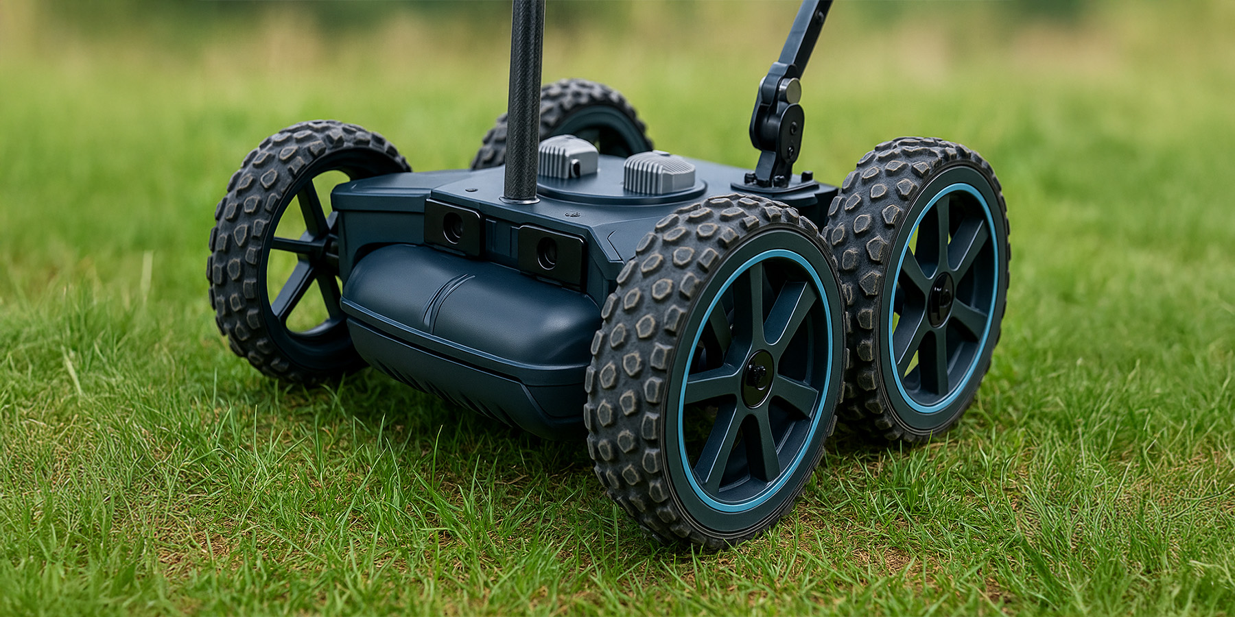
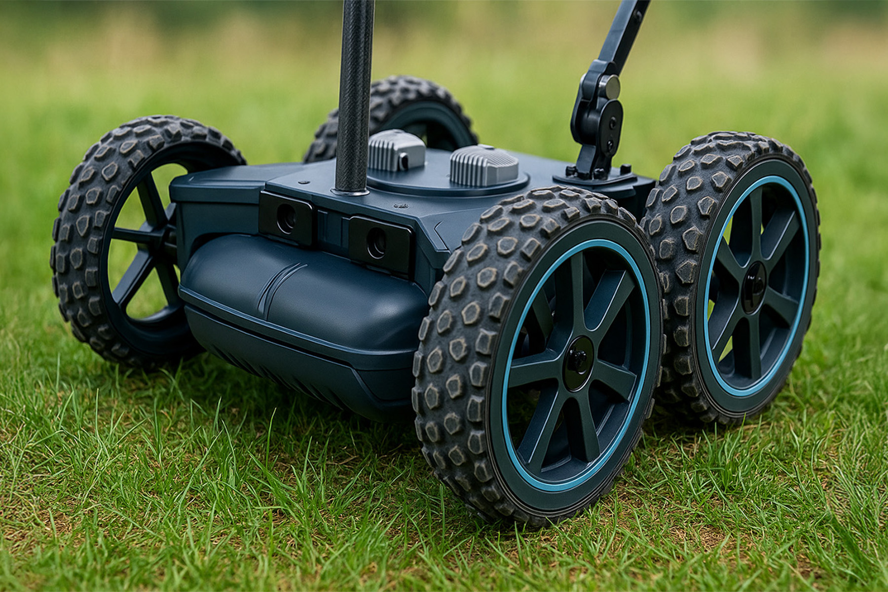
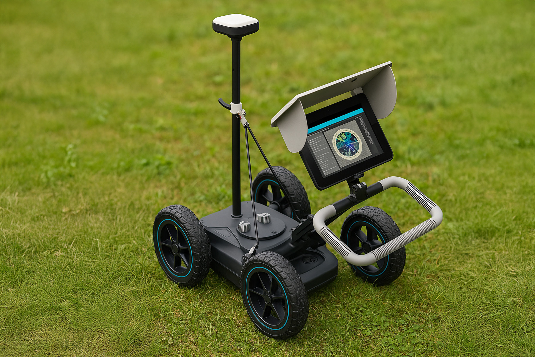
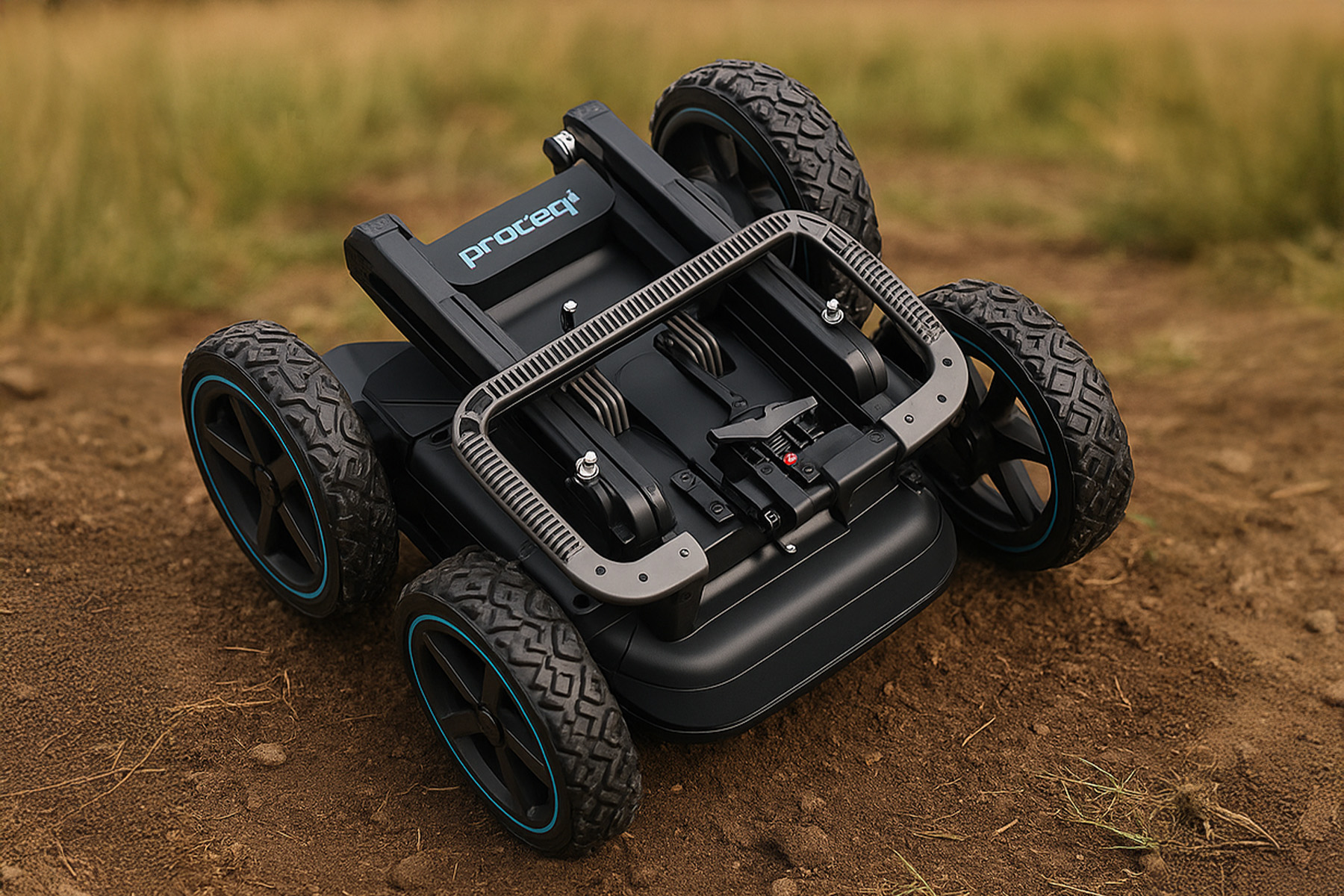
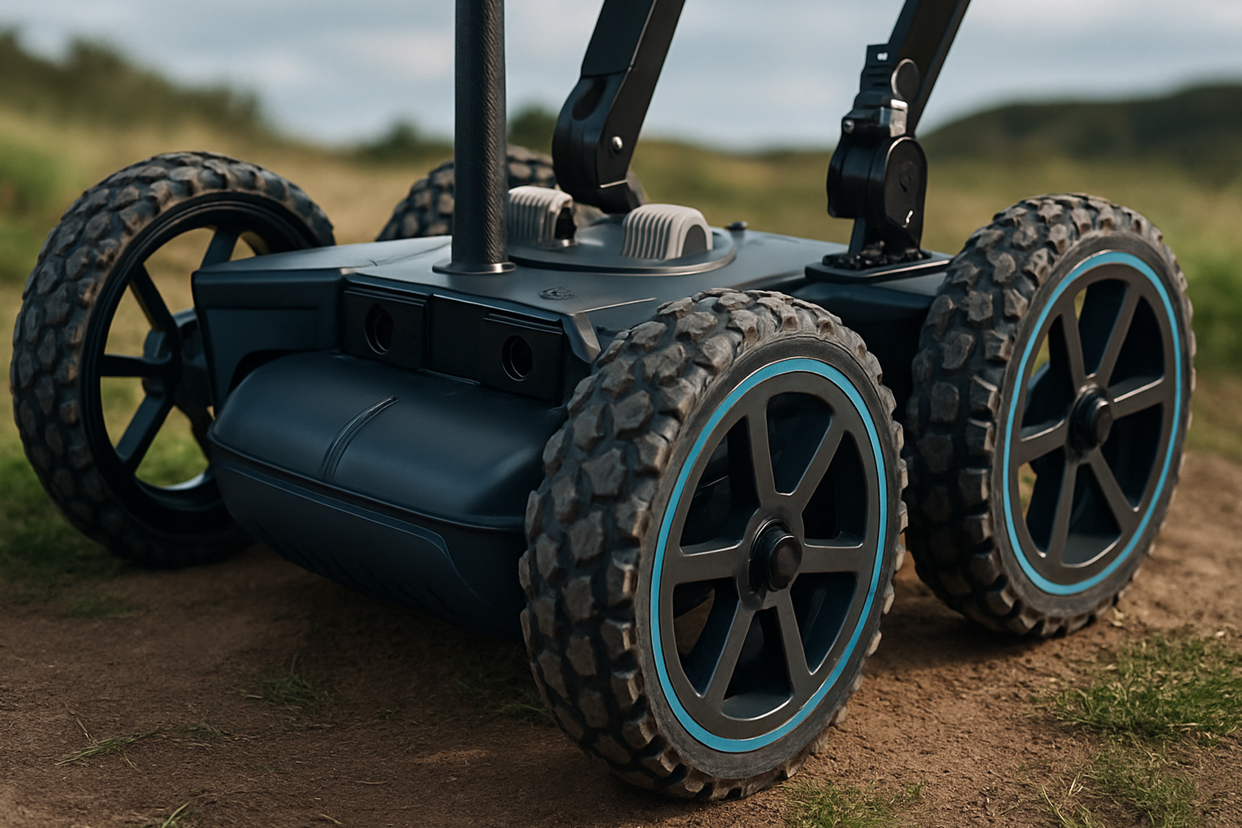
The Proceq GS8000, included in Detectsol’s inventory, is a state-of-the-art, high-resolution, and GNSS-supported Ground Penetrating Radar (GPR or Georadar) system. It enables the non-destructive imaging of subsurface structures across a wide variety of fields, ranging from archaeological surveys to utility mapping.
The Proceq GS-8000 Subsurface Mapping GPR is a measurement device that detects the location, size, and depth of underground structures and objects using electromagnetic waves. It allows for the acquisition of vital subsurface information without excavation, which is crucial for precision-demanding engineering projects, infrastructure, archaeology, geotechnical surveys, environmental studies, and construction applications.
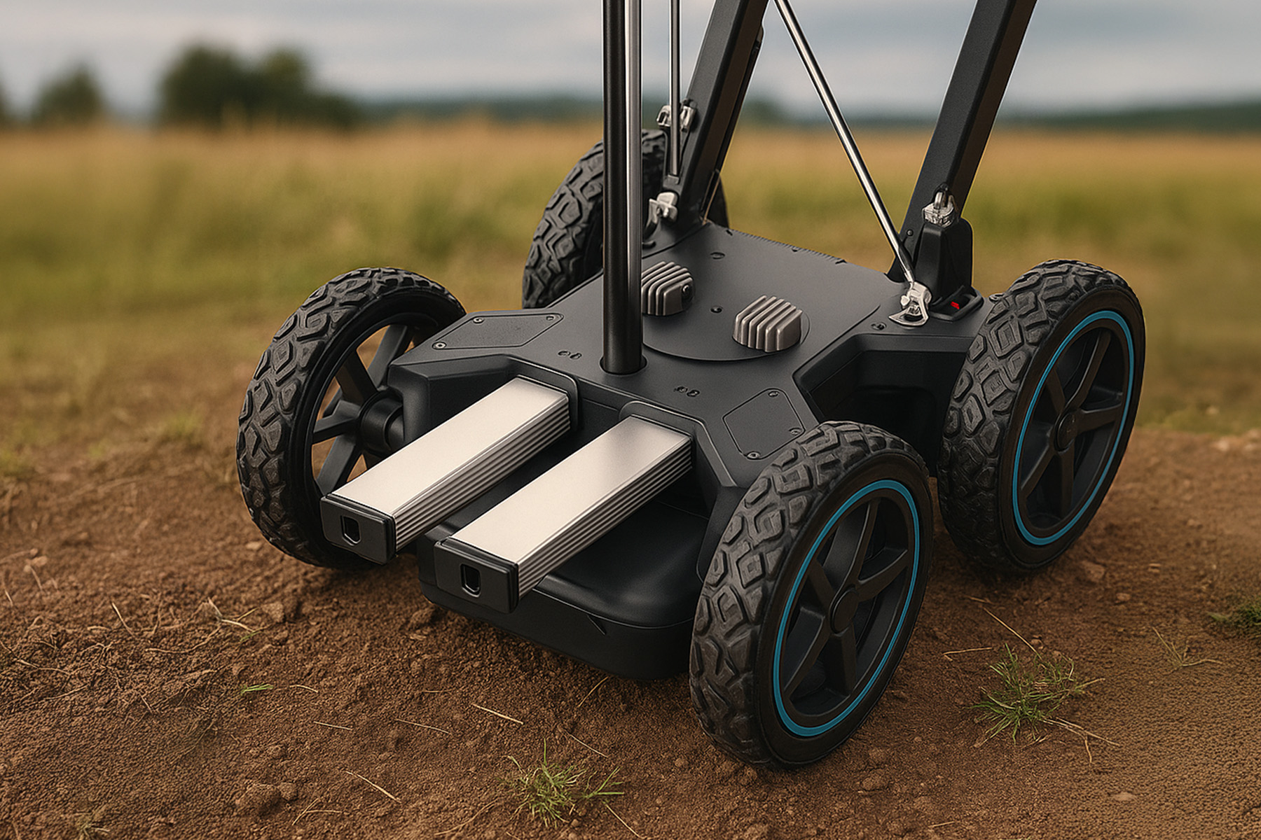
Operating with a stepped-frequency continuous-wave antenna system (40-3440 MHz), it simultaneously detects both deep and shallow targets.
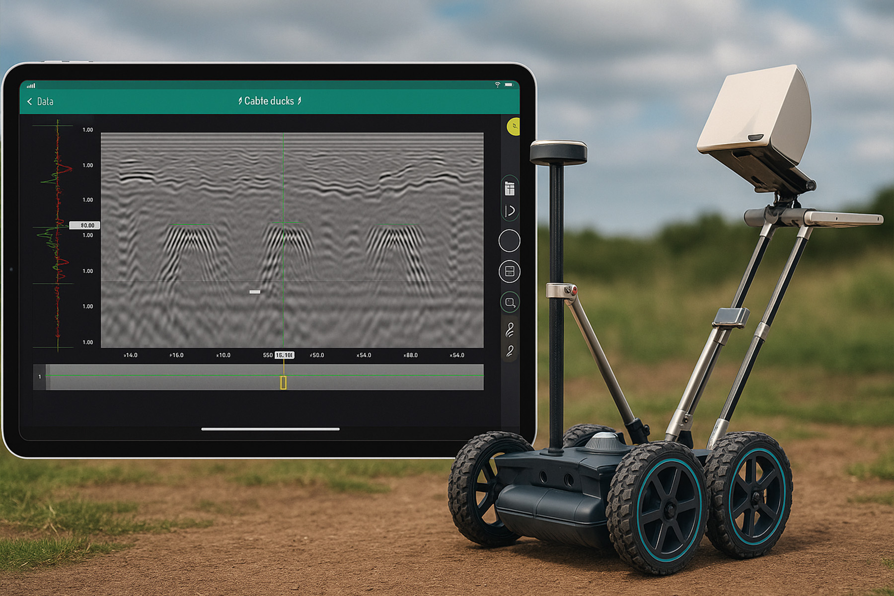
The RTK-supported GNSS module delivers centimeter-level positioning accuracy.
The touchscreen control unit provides immediate on-site imaging and analysis.
Capable of detecting objects as small as 1 cm or 0.4 in².
A 500 Hz scan rate allows for rapid data collection, ensuring fine details are captured without loss.
Advanced software infrastructure enables multi-scan data to be analyzed and transformed into 3D models.
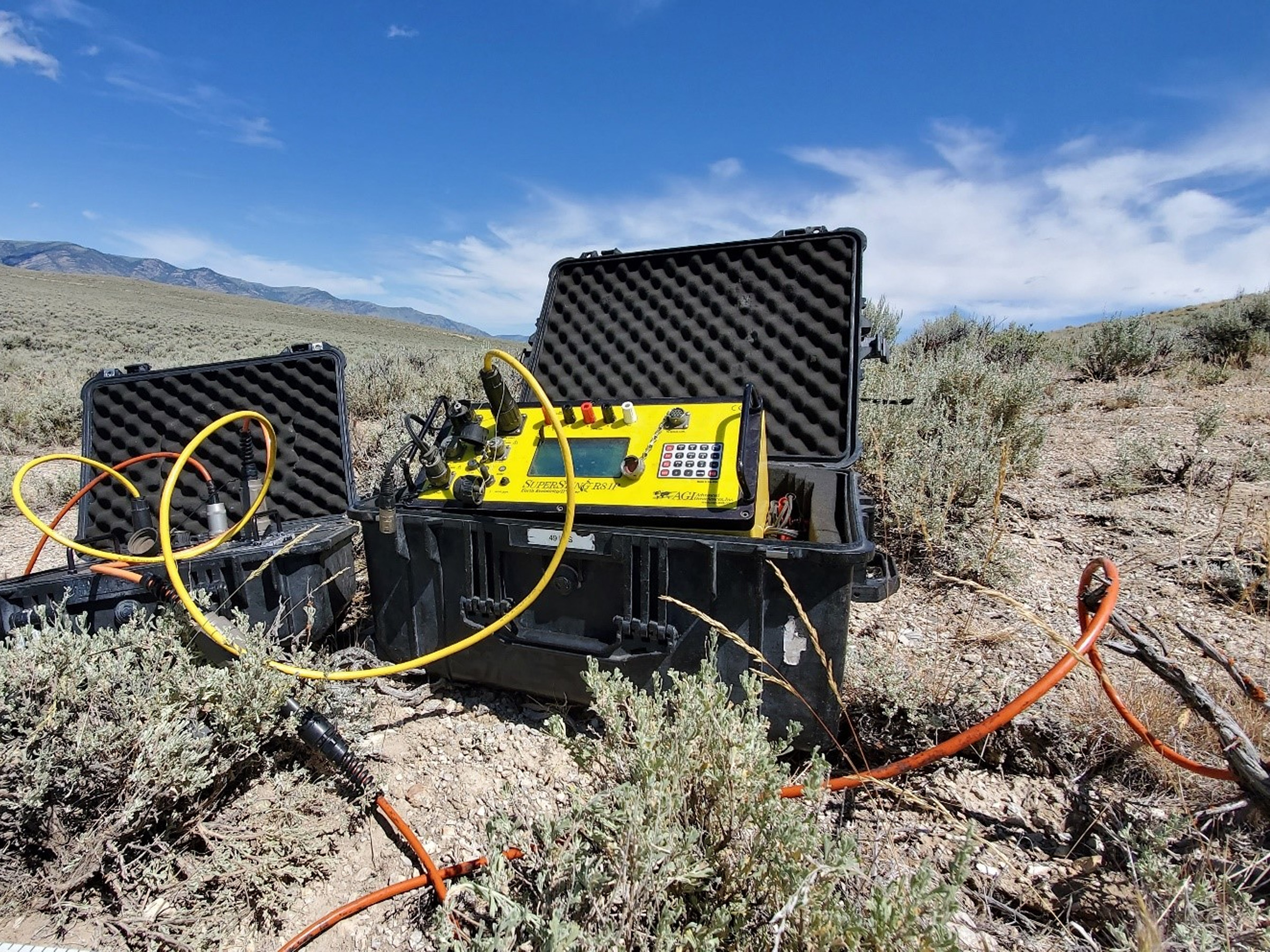
Ground penetrating radar technology has a very broad scope of application due to its ability to generate high-accuracy data across different disciplines. It enables non-destructive investigations in numerous areas, from archaeological discoveries and environmental risk analyses to geotechnical surveys and utility mapping. It delivers fast, reliable, and versatile solutions.
Fill out the form for project inquiries and collaboration opportunities. Get in touch with us