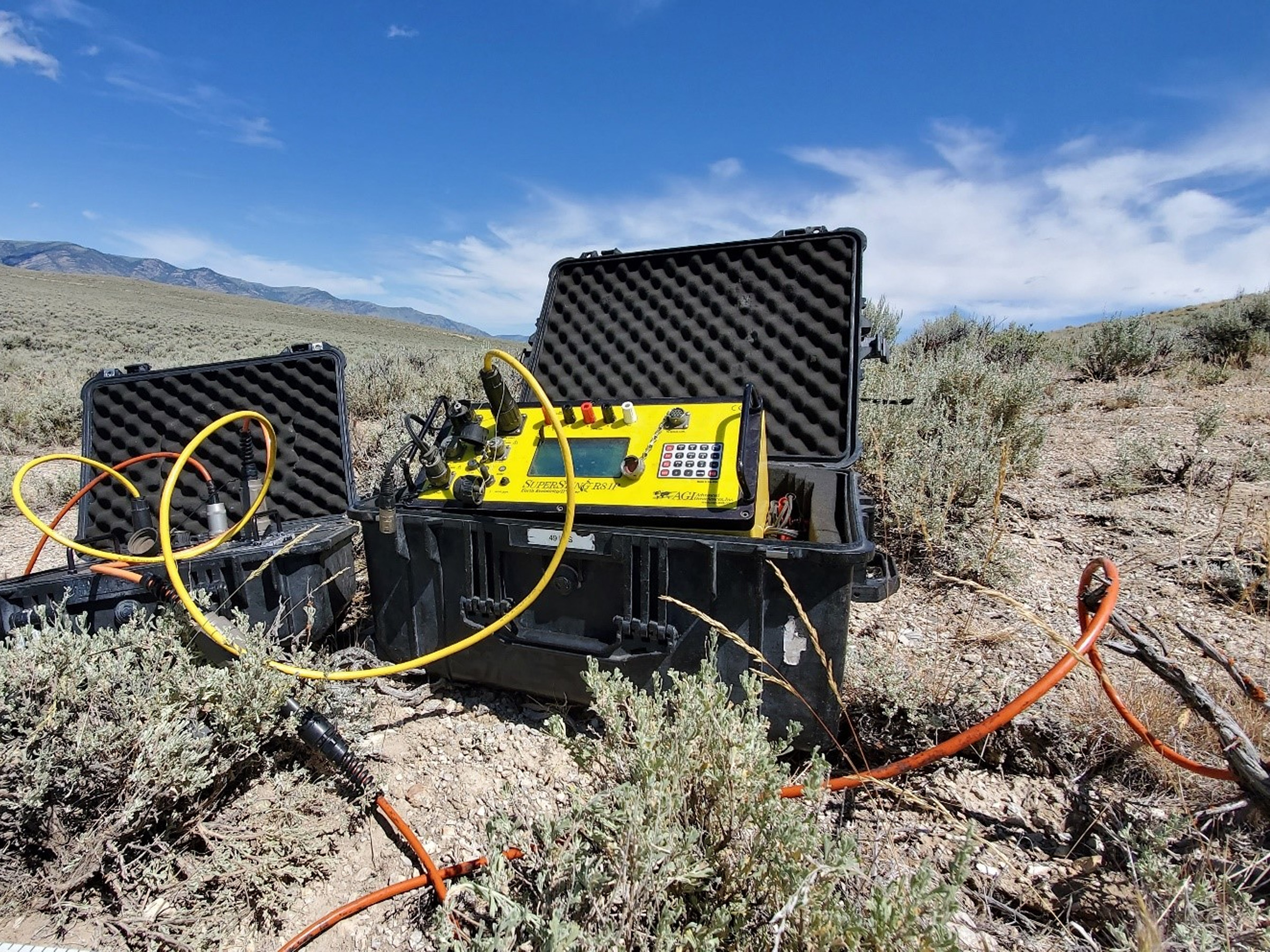
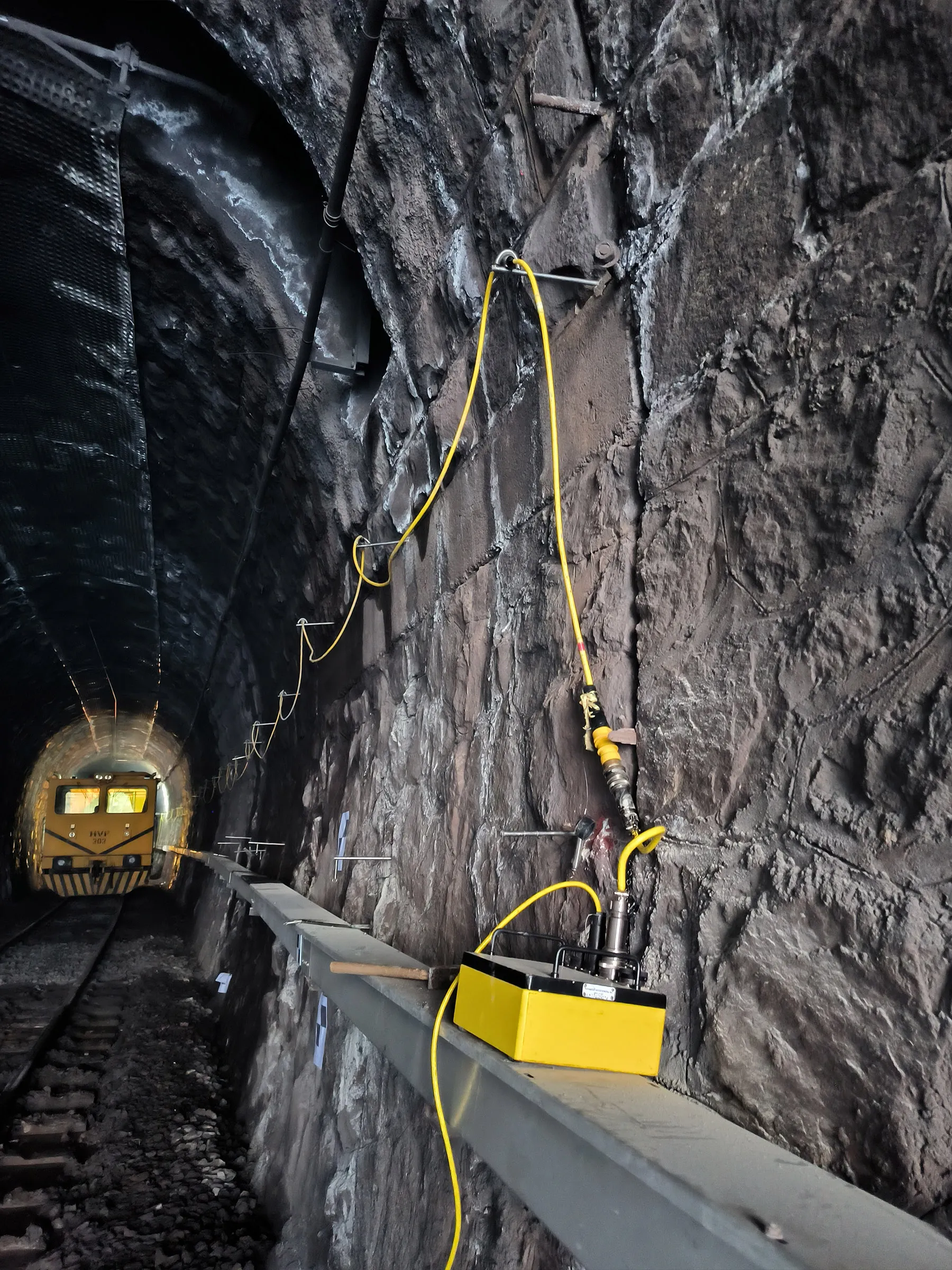
AGI SuperSting R8 – Direct Current (DC) Resistivity and Induced Polarization (IP) Measurement System
Detectsol actively utilizes the advantages of this advanced system in the field by securing project-based access to the SuperSting R8 instrument through strategic partnerships. Standing out with its multi-channel measurement capacity and high-resolution data acquisition capabilities, the SuperSting R8 is a powerful device developed for electrical resistivity and induced polarization (IP) measurements.
By modeling subsurface structures in three dimensions with high accuracy based on the resistivity parameter, it is utilized across a wide spectrum of applications such as mineral exploration, tunnel investigations, archaeo-geophysical investigations, hydrogeophysics, as well as landslide and sinkhole investigations. Thanks to its compact structure, modular cable layout, and software compatibility, it offers the advantages of easy setup and flexible configuration in the field.


Technical Infrastructure of the SuperSting R8
Thanks to its multi-channel system capable of collecting data from multiple electrodes simultaneously, the SuperSting R8 can rapidly scan large areas. Possessing both resistivity and IP measurement capabilities makes this device indispensable for hybrid geophysical projects. While its lightweight and compact design increases the mobility of field personnel, the software-supported control panel simplifies the measurement process.
- Rapid data acquisition capacity with an 8-channel receiver.
- 256+ electrode control capacity (expandable via multiswitch).
- Capable of measuring with all classic and user-defined electrode arrays.
- Readable data formats compatible with various software.


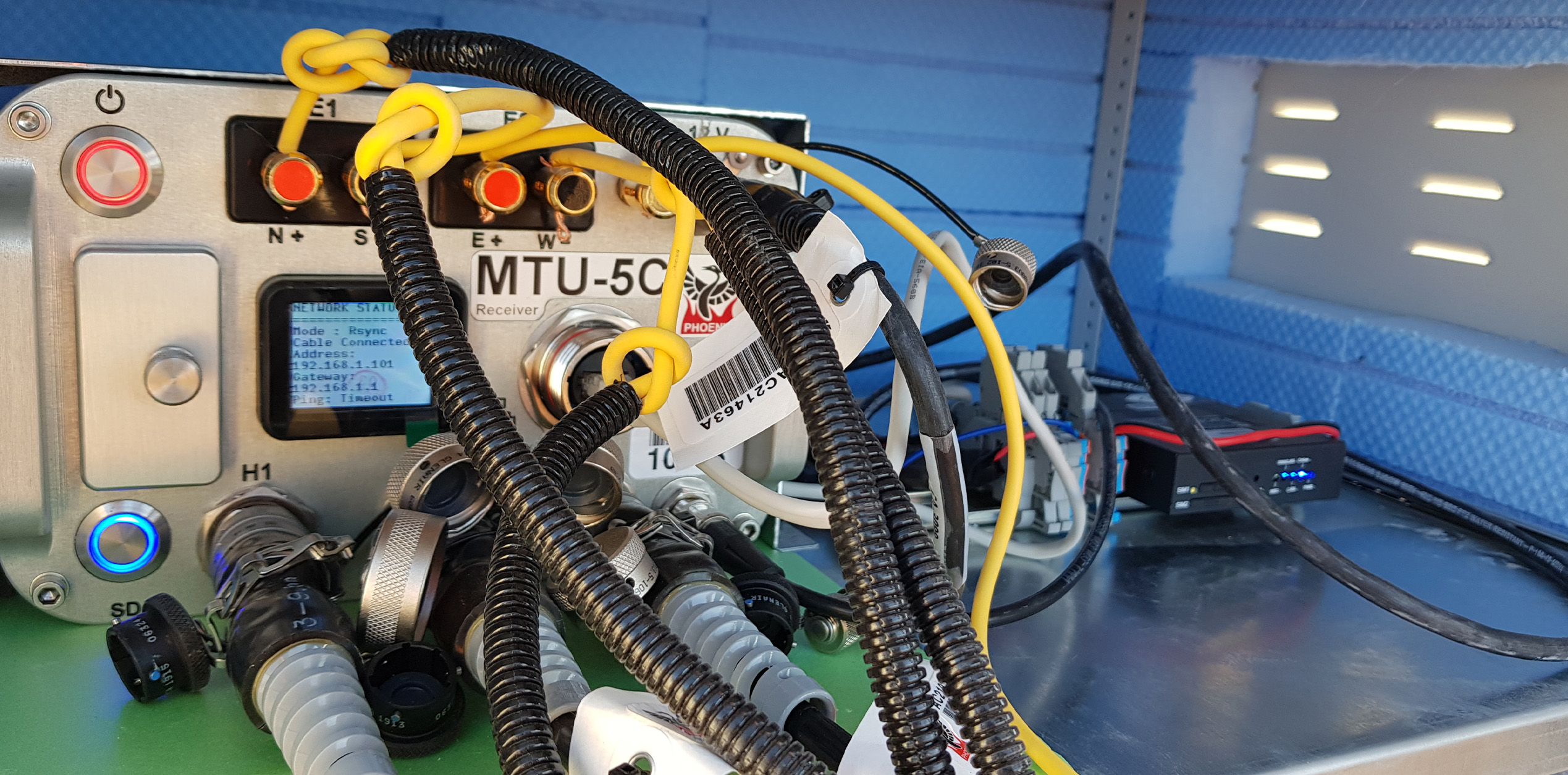
Core System Components
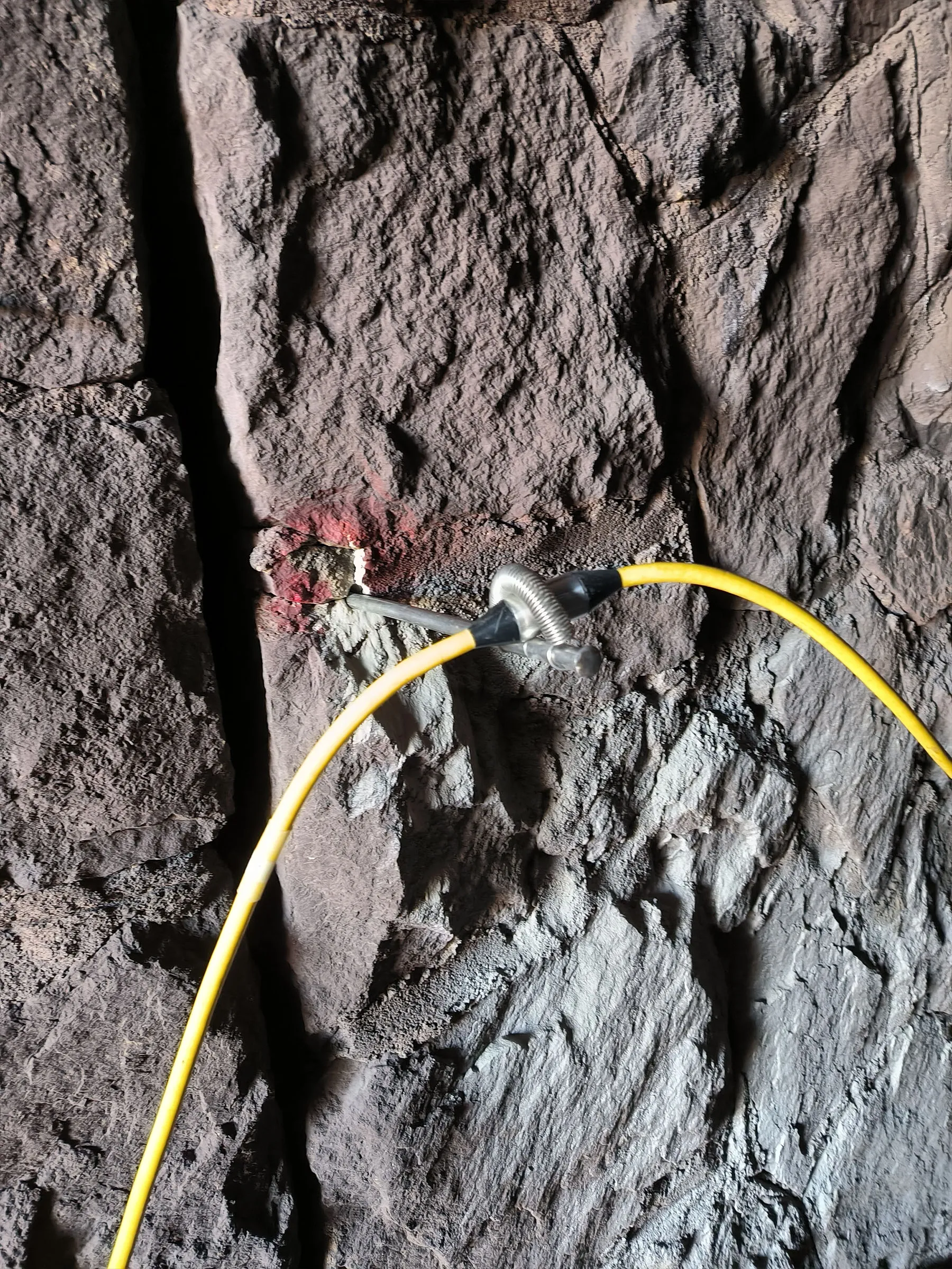
The SuperSting R8 is a multi-channel, robust electrical resistivity measurement system optimized for long-term field measurements. With its principles of energy continuity, field adaptability, and secure measurement, the system can be safely utilized in unattended data acquisition tasks. Its capability to operate simultaneously with a battery and a generator increases the stability of the system during all-day operations. Thanks to its cable connection structure and isolated operating principle, potential electrical noise (interference) during measurements is minimized.
- Secure data transfer with an RS-232 optical isolator.
- 256+ electrode control capacity (expandable via multiswitch).


Application Areas
Through the combination of multi-electrode arrays and IP-Resistivity, the SuperSting R8 generates highly accurate data across different disciplines. Its application areas can be grouped under the following headings: